We're proud to be officially listed as a partner solution on ESRI's ArcGIS Marketplace!
Visit our listing to learn more about our solution, Inspect, an end-to-end solution for grid data collection and analysis.
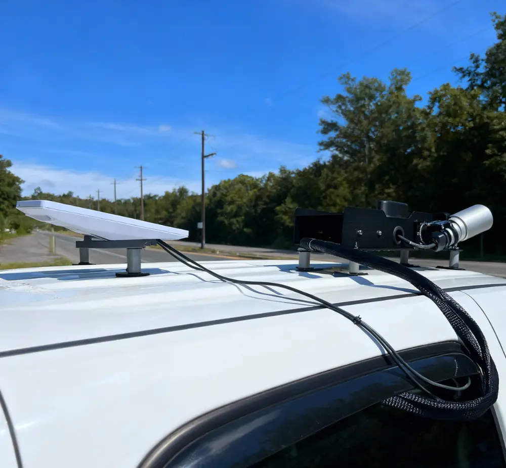
Our AI-powered camera systems mounts non-intrusively on fleet vehicles and automatically geolocate and capture high-resolution imagery of distribution poles. Proprietary machine learning models enable several applications with just one data collection pass, including: asset inventory/GIS clean up, asset inspections, vegetation management, 3rd party attachment assessments, lighting and more. Visualize all of these results (and more!) in our cloud software, which is integrated ArcGIS products for seamless data sharing between platforms.
Inspect helps utilities significantly increase situational awareness on the distribution grid, helping to improve reliability, resiliency and safety, while reducing operations and maintenance (O&M) costs.
Utilities commonly use Inspect to better understand their distribution infrastructure in the following ways:
- Know where poles are, what’s on them and their condition
- Shift from cyclical to condition / severity-based inspection programs
- Validate 3rd party / joint use attachments and clearance requirements
- Plan LED lighting conversions
- Understand where upgrades are needed to support increased demand
- And more!


.webp)